Charting the Unseen: Uncovering Philadelphia’s Subsurface for the Future
Westpark Phase 1 Development
The Westpark Development is a residential development located in West Philadelphia, Pennsylvania. The Philadelphia Housing Authority (PHA) and developer LMXD will bring together a diverse mixed income community in a 12-acre parcel. This $500+ million, 3 phase project includes renovating existing buildings and constructing new residential buildings that will include low income, senior, and townhome style housing units. Phase 1 includes the construction of three new residential buildings, pedestrian walkways, and vehicular roadways. GEODesign was retained as the geotechnical consultant for the project to develop and perform a subsurface investigation program to obtain information about the soils to be used in foundation design and the drainage characteristics of the in-situ soils.
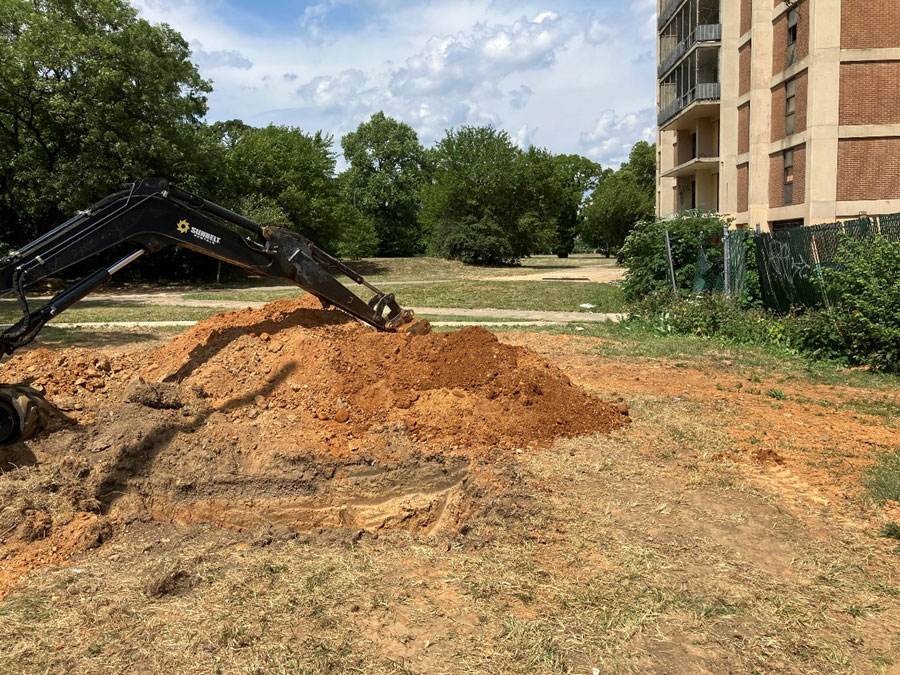
Geotechnical Borings
GEODesign developed a phased investigation plan that included 33 strategically located test borings, geotechnical laboratory testing, and groundwater level monitoring to obtain a comprehensive view of the subsurface conditions at the site. Prior to performing the borings, GEODesign performed a preliminary site visit and used ground penetrating radar (GPR) to scan the test boring locations for possible shallow obstructions including underground remnants from previous industrial uses of the site. These initial studies will allow the design team to make informed decisions for project planning of future phases.
The subsurface conditions vary from dense sand overlying soft rock, to soft cohesive soils that were sampled and tested in the laboratory to obtain important data for the foundation design. GEODesign’s comprehensive and phased approach to the subsurface investigation helped optimize design solutions and control costs while staying on schedule.
Infiltration Testing
 Adequately designed stormwater management systems, such as rain gardens, permeable pavements, and bioswales, help reduce the risk of flooding. These practices promote sustainable development by managing stormwater naturally and enhancing urban green spaces. The design of these systems is highly dependent on the ability of the near-surface soils to infiltrate water, which reduces flooding and waterlogging. Therefore, accurate in-situ infiltration testing is critical for the design of sustainable and cost-effective stormwater management systems.
Although many methods of in-situ infiltration testing can be used, the Double Ring Infiltrometer (DRI) method was selected for the project due to its effectiveness in measuring infiltration rates at the soil surface, making it ideal for applications like bioretention and rain gardens. The outer ring of the DRI helps to minimize lateral flow, ensuring that the water infiltrates vertically, which provides a more accurate infiltration rate measurement.
GEODesign performed infiltration testing at 23 locations where stormwater infiltration data was required. Working in coordination with the project’s site/civil engineer, GEODesign conducted the DRI testing and adjusted the testing locations and depths in real time to help facilitate accurate results and provide cost savings to the client. Our comprehensive analysis and reporting allowed the client to make informed decisions for stormwater management planning and sustainable development.
Author: Jonathan Perez, Senior Staff Engineer, (347) 681-0087